
EM 1110-2-1100 (Part II)
(Change 1) 31 July 2003
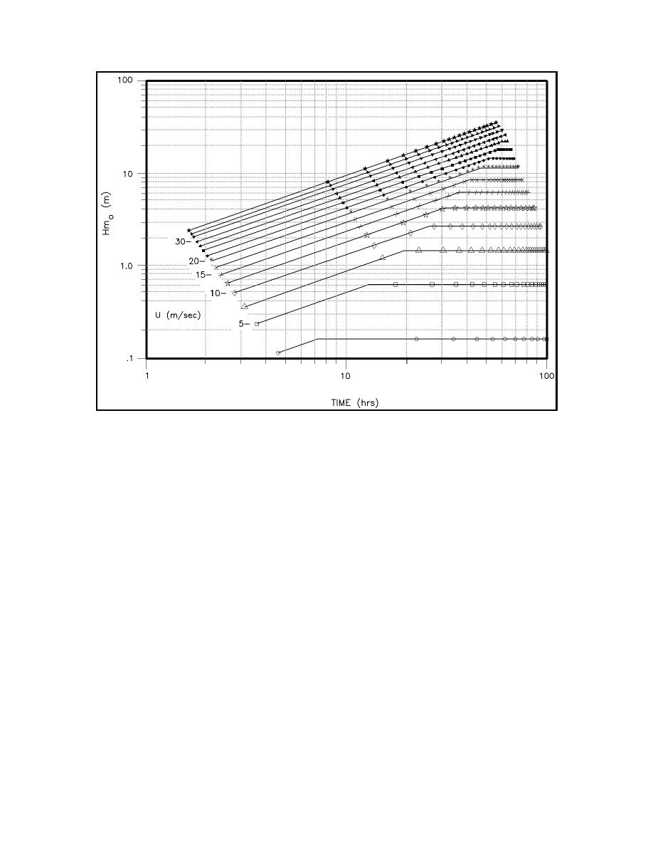
Figure II-2-25. Duration-limited wave heights (wind speeds are plotted in increments of 2.5 m/s)
(1) As shown Table II-2-2, waves from tropical storms, hurricanes, and typhoons represent a dominant
threat to coastal and offshore structures and activities in many areas of the world. In this section, the generic
term "hurricane" refers to all of these classes of storms. As pointed out previously in this chapter, the only
distinction between tropical storms and hurricanes/typhoons is storm intensity (and somewhat the storm's
degree of organization). The only distinction between hurricanes and typhoons is the point of origin of the
storm.
(2) Spectral models have been shown to provide accurate estimates of hurricane wave conditions, when
driven by good wind field information (Ward, Evans, and Pompa 1977; Corson et al. 1982; Cardone 1992;
Hubertz 1992). Numerical spectral models can be run on most available PC's today, so there is little
motivation not to use such models in any application with significant economic and/or safety implications.
However, certain situations remain in which a parametric hurricane wave model may still play an important
role in offshore and coastal applications. Therefore, some documentation of parametric models is still
included in this manual.
(3) In general, parametric prediction methods tend to work well when applied to phenomena that have
little or no dependence on previous states (i.e. systems with little or no memory). A good example of such
a physical system is a hurricane wind field. It has been demonstrated (Ward et al. 1977) that hurricane wind
fields can be well-represented by a small number of parameters, since winds in a hurricane tend always to
remain very close to a dynamic balance with certain driving mechanisms. On the other hand, waves depend
not only on the present wind field but also on earlier wind fields, bathymetric effects, pre-existing waves from
other wind systems, and in general on the entire wave-generation process over the last to 12 to 24 hr.
II-2-48
Meteorology and Wave Climate

 Previous Page
