
EM 1110-2-1100 (Part III)
30 Apr 02
weights. The set of samples obtained can be fairly small if the intent is only to characterize the beach as a
whole. However, if the intent is to compare and contrast different portions of the same beach, many more
samples are needed. In this case it is usually necessary to develop a sampling scheme prior to fieldwork.
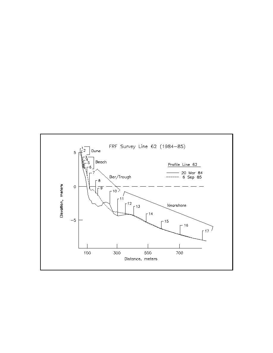
(3) In the cross-shore it is recommended that samples be collected at all major changes in morphology
along the profile, such as dune base, mid-berm, mean high water, mid-tide, mean low water, trough, bar crest,
and then at 3-m intervals to the depth of closure (Stauble and Hoel 1986). In the longshore direction,
sediment sampling should coincide with survey profile lines so that the samples can be spatially located and
related to morphology and hydrodynamic zones. Shoreline variability and engineering structures should be
considered in choosing sampling locations. A suggested rule of thumb is that a sampling line be spaced every
half mile, but engineering judgment is required to define adequate project coverage.
(4) Samples collected along profile sub-environments can be combined into composite groups of similar
depositional energy levels as seen in Figure III-1-3. Intertidal and subaerial beach samples have been found
to be the most usable composites to characterize the beach and nearshore environment. Stauble and Hoel
(1986) found that a composite containing the mean high water, mid-tide, and mean low water gave the best
representation of the foreshore beach.
Figure III-1-3. Suggested composite sediment sample groups on a typical profile - example from
Field Research Facility, Duck, NC
III-1-12
Coastal Sediment Properties

 Previous Page
