
EM 1110-2-1100 (Part III)
30 Apr 02
(3) One-line (two-dimensional) models.
(a) The Large Scale Sediment Processes Committee at the Nearshore Processes Workshop in St.
Petersburg in 1989 concluded that long-term simulations of beach change are more reasonably formulated
on the basis of total or bulk transport models such as Equation 2-7. These models have fewer coefficients
than three-dimensional models and provide no details of the sediment transport profile. However, they may
be calibrated and verified to include the integrated effect of all of the local processes on the total transport.
(b) The shoreline change models developed from bulk transport models are often referred to as one-line
models. One-line models assume that the beach profile is a constant shape; thus, the controlling equations
may be solved for one contour line only (usually taken as the shoreline). Many shoreline change models have
been developed and applied (e.g., Komar 1973a; LeMhaut and Soldate 1977; Walton, Liu, and Hands 1988;
and many others). Documented nonproprietary, one-line models that are also presently available include a
model developed at the University of Florida (Dean and Grant 1989, Dean and Yoo 1992, 1994), and the
computer model GENESIS (GENEralized model for SImulating Shoreline change) (Hanson 1987; Hanson
and Kraus 1989; Gravens, Kraus, and Hanson 1991).
(c) One-line models used to estimate longshore sand transport rates and long-term shoreline changes
generally assume that the profile is displaced parallel to itself in the cross-shore direction. The profile may
include bars and other features but is assumed to always maintain the same shape. This assumption is best
satisfied if the profile is in equilibrium. The one-line model is formulated on the conservation equation of
sediment in a control volume or shoreline reach, and a bulk longshore sand transport equation. It is assumed
that there is an offshore closure depth dC at which there are no significant changes in the profile, and the upper
end of the active profile is at the berm crest elevation dB. The constant profile shape moves in the cross-shore
direction between these two limits. This implies that sediment transport is uniformly distributed over the
active portion of the profile. The incremental volume of sediment in a reach is simply (dB + dC)∆x∆y, where
∆x is the reach of shoreline segment, and ∆y is the cross-shore displacement of the profile. Conservation of
sediment volume may be written as
∆ QR
∆y
1
q
'0
(III-2-40)
%
dB % dC
∆x
∆t
in which QR is the longshore transport rate, q is a line source or sink of sediment along the reach, and t is time
(Figure III-2-28). As examples, line sources of sediment may be rivers and coastal cliffs, and sinks may be
produced by sand mining or dredging.
(d) The longshore transport rate is evaluated using equations similar to Equation 2-7. These require
measurement or calculation of the breaking wave angle relative to the beach. The local wave angle relative
to the beach is the difference between the wave angle relative to a model baseline and the shoreline angle
relative to the model baseline (Figure III-2-29),
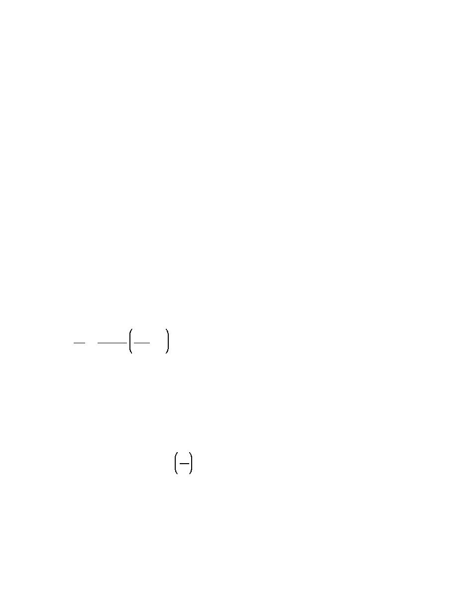
dy
αb ' αbg & αsg ' αbg & tan&1
(III-2-41)
dx
where x is the distance alongshore, and y is the distance offshore.
(e) If the angle of the shoreline is small with respect to the x axis and simple relationships describe the
waves, analytical solutions for shoreline change may be developed, as discussed in the previous section. For
Longshore Sediment Transport
III-2-79

 Previous Page
